Spatial Sciences (#maptimeDavis)
About this Community of Practice
The Spatial Sciences Community of Practice is a welcoming and supportive community interested in working with spatial data. Our goal is to help people engage in new and creative ways with spatial data and to connect with other students and researchers who also work with spatial data.
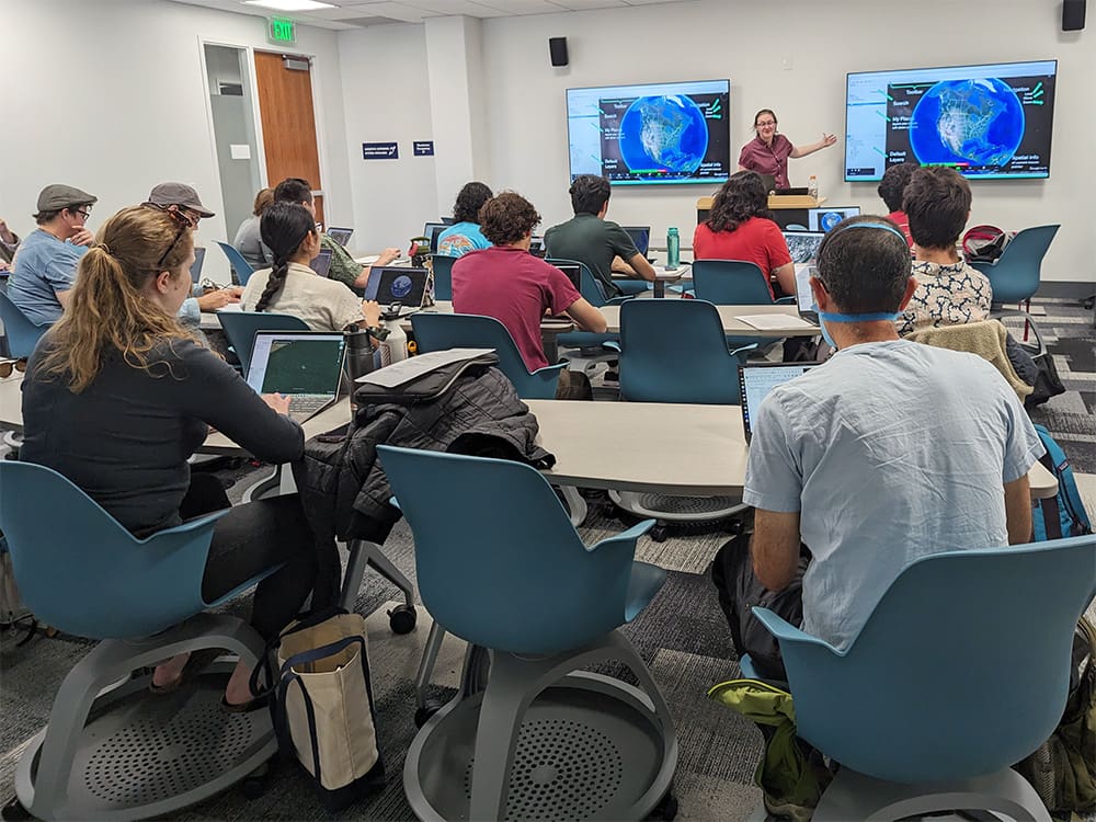
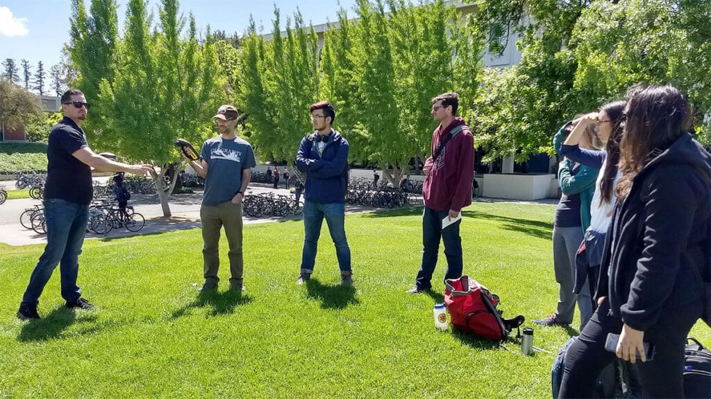
This group focuses on engaging with spatial data through our workshop series called #maptimeDavis. These are instructor-lead formal workshops teaching a specific skills. These workshops typically (but not always) require participants to bring a laptop computer with software installed pertaining to the topic of the workshop. If a particular software is needed for a workshop, we’ll let you know what you need before hand if you register.
Membership
Anyone from UC Davis (undergraduate and graduate students, faculty, post docs, staff, etc.) and our immediate community with an interest in working with spatial data are welcome to join. Participation is open to everyone, at any skill level.
How to Participate:
- Attend events. See the #maptimeDavis community website for topics and details of upcoming events.
- Help at a workshop. Making workshops run smoothly is a team effort. We often need folks to help answer questions, relay communications to the presenter, or help participants who get stuck.
- Present a workshop. You don’t need to be an expert to teach well.
- Join #maptimeDavis Council, the group of people who organize each quarter’s events.
Upcoming Event Details
#maptimeDavis Council
Community members help advise and produce our #maptimeDavis workshop series. The team offers a variety of skills and interests and includes students, staff, and faculty. This year’s #maptimeDavis Council members are:
- Matthew Conner, librarian, UC Davis Library
- Lauren Mabe, graduate student, UC Davis Geography Graduate Group
- Alex Mandel, geospatial engineer, Development Seed
- Naomi Kalman, GIS programmer, UC Davis Campus Planning & Environmental Stewardship
- Holden Tal, undergraduate student, UC Davis Sustainable Environmental Design
- Michele Tobias, data scientist, UC Davis DataLab
We thank the past council members for all of their work!
- Karen Beardsley, Faculty/Staff, UC Davis Global Affairs (2021-2023)
- Liam Bhajan, Graduate Student, UC Davis Geography Graduate Group (2023-2024)
- Emma Forester, Graduate Student, UC Davis Geography Graduate Group (2022-2023)
- Kyra Liu, Undergraduate Student, UC Davis Environmental Science and Management (2023-2024)
- Lupe Franco, Graduate Student, UC Davis Geography Graduate Group (2023-2024)
- Sadia Gul, Graduate Student, UC Davis Energy Graduate Group (2021-2022)
- Veronica Herrera, Graduate Student, UC Davis Geography Graduate Group (2022-2024)
- Mina Rezaei, Graduate Student, UC Davis Geography Graduate Group (2021-2022)
We are always looking for volunteers to join our efforts! If you are interested in joining #maptimeDavis Council, please email Michele Tobias at mmtobias@ucdavis.edu.
- Bioinformatics (POOH)
- Causal Inference
- Computational Pedagogy
- Cultural Analytics
- Data Feminism
- Julia Users
- Network Science
- Python Users
- R Users
- Spatial Sciences (#maptimeDavis)
Spatial Sciences Contact
For more information about this community of practice, please email Michele Tobias.
Michele Tobias
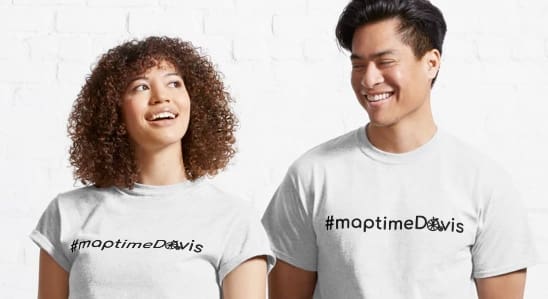
#maptimeDavis merch
T-shirts and other items are available at cost (no markup) from Redbubble.