Products
The following products are developed, maintained, and/or produced by DataLab’s data scientists.
Software
3DVisualizer is a highly interactive application for visualization and analysis of 3D multivariate gridded data, such as produced by finite element method (FEM) simulations, confocal microscopy, serial sectioning, computerized axial tomography (CAT) scans, or magnetic resonance imaging (MRI) scans. It uses carefully optimized algorithms and data structures to support the high frame rates required for immersion and the real-time feedback required for interactivity. As an application developed for VR from the ground up, 3DVisualizer realizes benefits that usually cannot be achieved by software initially developed for the desktop and later ported to VR.

The Augmented Reality (AR) Sandbox project combines 3D visualization applications with a hands-on sandbox exhibit to teach earth science concepts. The AR sandbox allows users to create topography models by shaping real sand, which is then augmented in real time by an elevation color map, topographic contour lines, and simulated water. The system teaches geographic, geologic, and hydrologic concepts such as how to read a topography map, the meaning of contour lines, watersheds, catchment areas, levees, etc.

CRUSTA is an interactive viewer and mapping tool for local, regional, or global high-resolution topography data, typically combined with aerial or satellite imagery. Unlike most other GIS software, Crusta uses a virtual globe to support mapping directly on the 3D surface, without the need for map projections. Crusta uses a multi-resolution representation that supports interactive work on globe-sized data sets at meter-resolution or below.
Crusta has been prominently used during UC Davis’s scientific response to the 2010 Haiti earthquake, and in evaluation of potential landing sites for NASA’s Curiosity Mars rover mission.

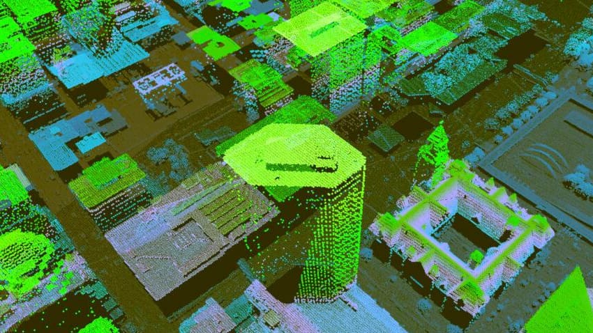
LiDAR Viewer is a highly interactive application for processing, visualization and analysis of large 3D point cloud data, such as produced by terrestrial or airborne LiDAR scanning. LiDAR point clouds are displayed as navigable and interactive 3D environments in virtual reality. LiDAR Viewer also analyzes data; for example, an interactive selection tool can be used to mark subsets of the LiDAR points defining a single feature and algorithms can then derive equations defining the shape of such features.

makeParallel statically analyzes entire R scripts to detect dependencies between statements, and then generates equivalent parallel scripts. Allowing the system to change code can provide underlying improvements in the system and change code in ways that were not previously considered or manually feasible. The makeParallel R package was created by former DataLab affiliate Dr. Clark Fitzgerald as the implementation of his dissertation.
Archive-Vision (arch-v) is a collection of computer vision programs written in C++ which utilizes functions from the OpenCV library to perform analysis on large image sets. The primary function is to locate recurring patterns within each image in a set of images. It includes the programs: processImages.cpp, sanDatabase.cpp, and drawMatches.cpp. Development of this software was supported by the J. Paul Getty Foundation.

Datasets
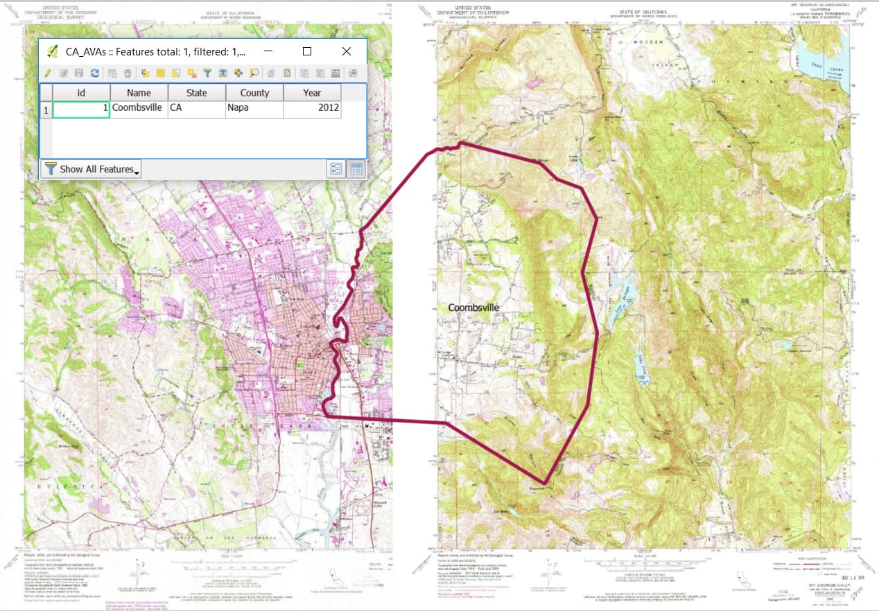
The UC Davis library, in conjunction with UC Santa Barbara, Virginia Tech, and contributions from the general public, develop and maintain a publicly accessible geospatial dataset of American Viticultural Areas boundaries. The AVA Project empowers researchers to study emerging environmental questions, evaluate wine production and marketing data, compare wine aesthetics by geography, and otherwise enrich science related to different wine-growing environments.

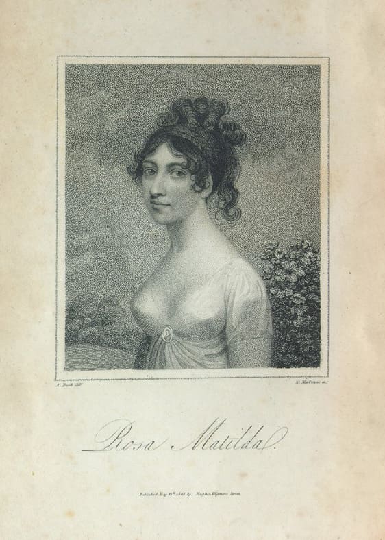
DataLab has ensured digital accessibility of a web-based archive of over 14,000 TEI encoded texts from the Kohler Collection of Minor British Poetry, housed in the UC Davis Shields Library Special Collections.
